PiCraft Aerial Consulting
At π-Craft, our FAA Part 107–certified pilots specialize in delivering professional, precision-driven UAS operations across a wide range of industries. Whether supporting real estate development, large-scale construction, aerial surveying, or environmental analysis, we provide the data and visual intelligence needed to move projects forward with confidence.

We approach every mission with a commitment to accuracy, reliability, and safety. Our workflows are built for efficiency from pre-flight planning and airspace compliance to advanced post-mission data processing—ensuring every deliverable meets the highest standard of quality and usability.
Collaboration is at the core of how we operate. We align our aerial capabilities with your goals, timelines, and technical requirements, acting as a trusted extension of your team—whether you're a developer, project manager, engineer, or conservation specialist.
At π-Craft, we don’t just deliver images or data points—we deliver clarity, insight, and confidence. We’re here to support your project at every phase, with a focus on building long-term partnerships rooted in trust and performance.
Let’s elevate your next project—get in touch with π-Craft Aerial Consulting today.
Services
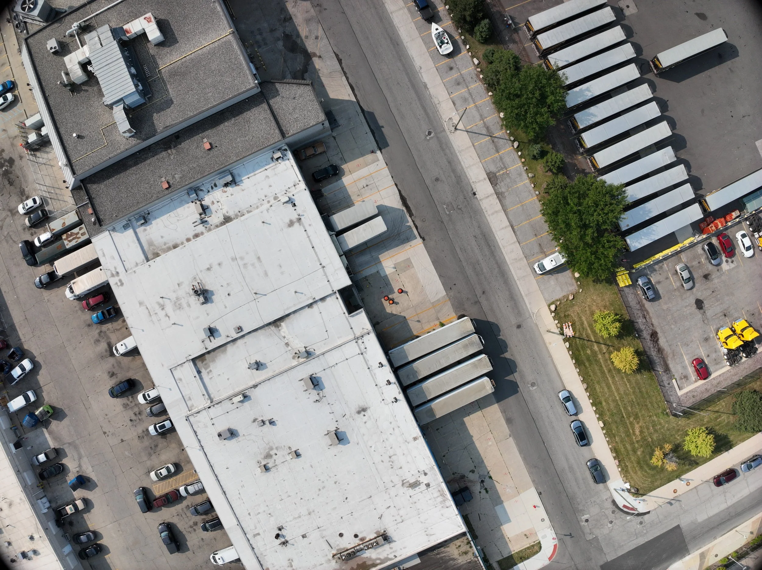
🏗️ Construction & Infrastructure
Supporting project teams with mission-critical visuals and data throughout the entire build cycle:
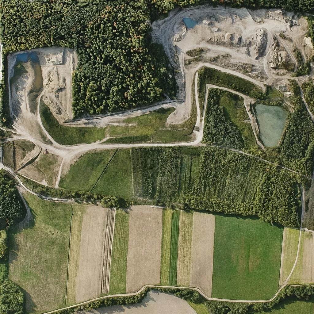
🌿 Environmental & Land Management
Our aerial insights support sustainable land use, conservation, and compliance efforts:
🔍 Inspection & Asset Monitoring
For critical infrastructure, we deliver safe, repeatable, high-resolution inspections:
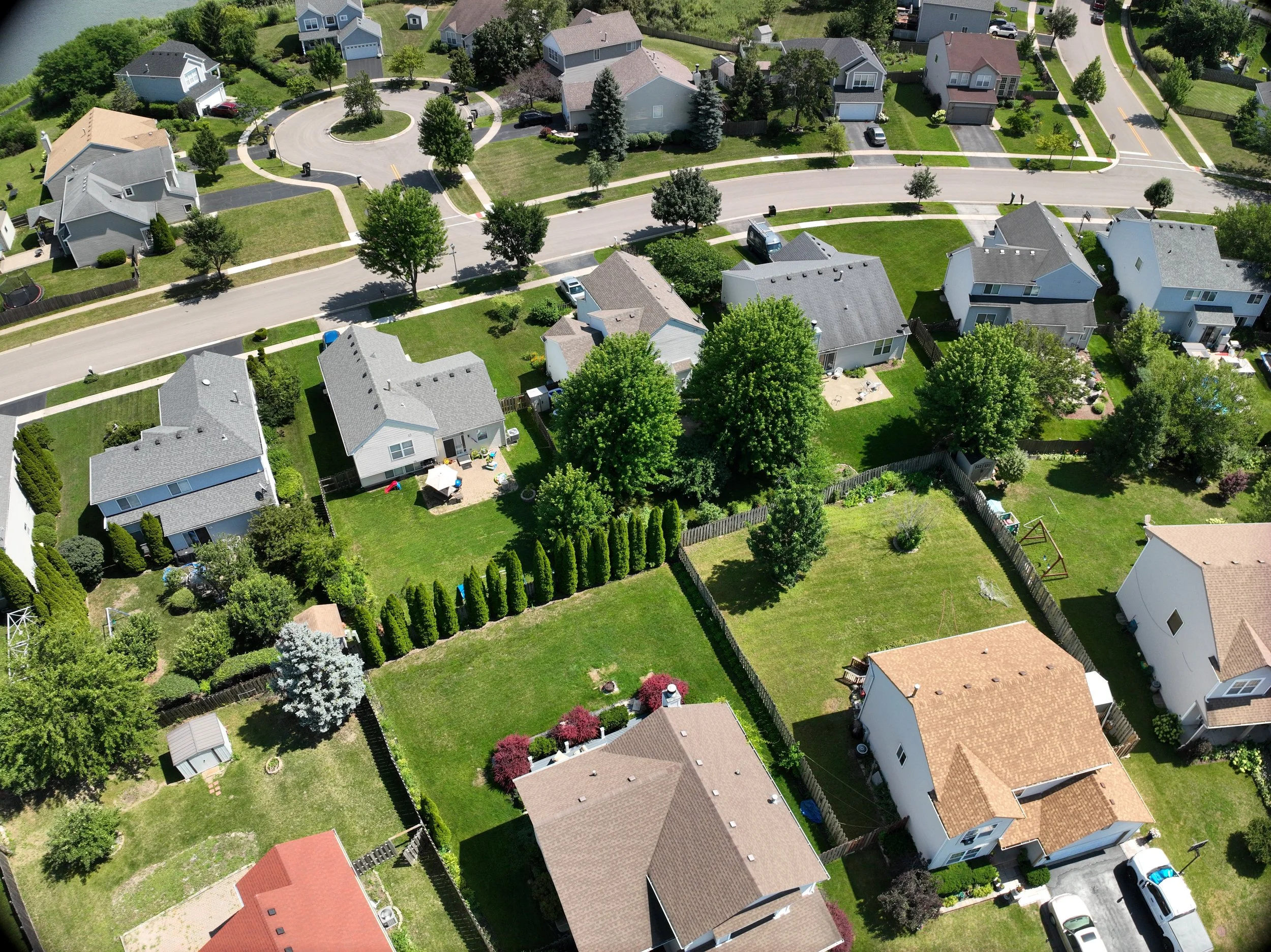
🌇 Real Estate & Urban Planning
We create compelling visuals and 3D models to support planning, development, and marketing:

🌾 Agriculture & Forestry
From precision agriculture to forest health audits, we deliver actionable, data-rich maps: