Zoning & Land Use Visualization
Our drone-based zoning and land use visualizations offer a clear, data-driven way to understand property boundaries, permitted uses, and development potential. By combining aerial imagery with zoning overlays, parcel data, and topographic information, this service helps property owners, developers, and investors make informed decisions before committing to a project. Whether it’s assessing compliance, identifying opportunities, or planning land use changes, drone mapping provides a precise, visual foundation for action.
Here’s what you can expect during the process:
Initial Consultation: The drone operator will discuss your project goals—whether marketing a subdivided parcel, preparing for rezoning, or evaluating development feasibility—and determine the required data layers.
Regulatory Review: Relevant zoning maps, parcel data, and municipal requirements will be gathered to ensure the visualization reflects current regulations.
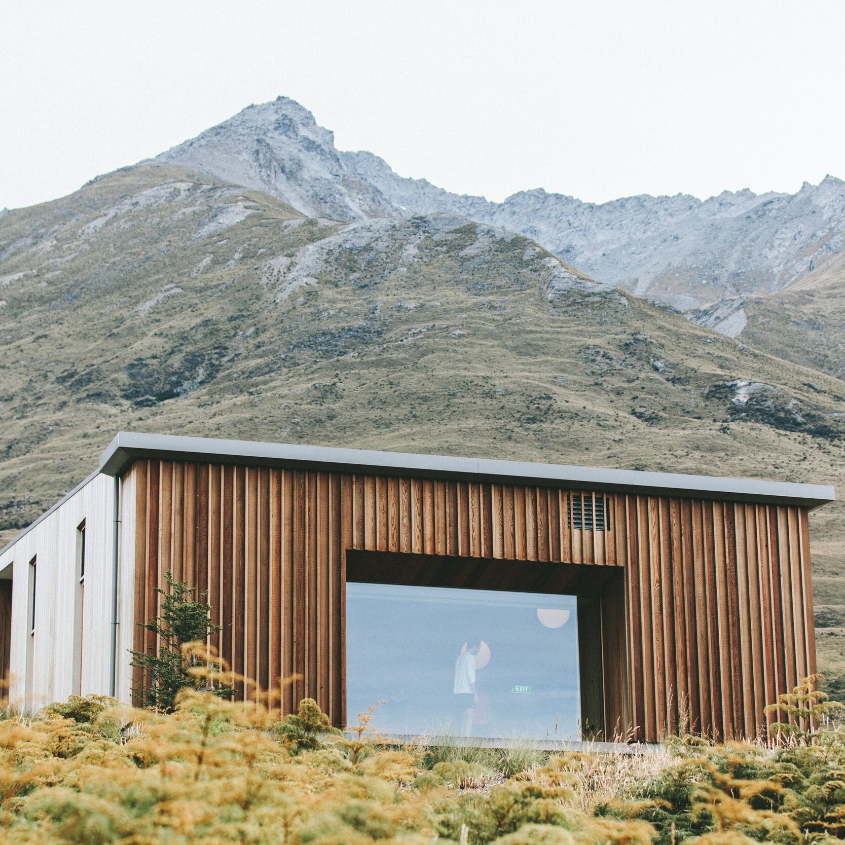
Site Survey & Flight Planning: The operator will plan safe, efficient drone flights to capture high-resolution imagery of the entire property and surrounding context, ensuring compliance with FAA Part 107 regulations in the US.
Drone Flight and Data Capture: Following the flight plan, the drone will capture overlapping images for orthomosaic creation, as well as oblique shots for context.
Data Integration: Aerial imagery will be processed into a detailed base map, then overlaid with zoning boundaries, permitted use areas, easements, and relevant infrastructure features.
Visualization Creation: The final deliverable will clearly show property limits, zoning classifications, setback lines, and potential development footprints, presented in an easy-to-interpret format for decision-making.