3D Models of Structures & Sites
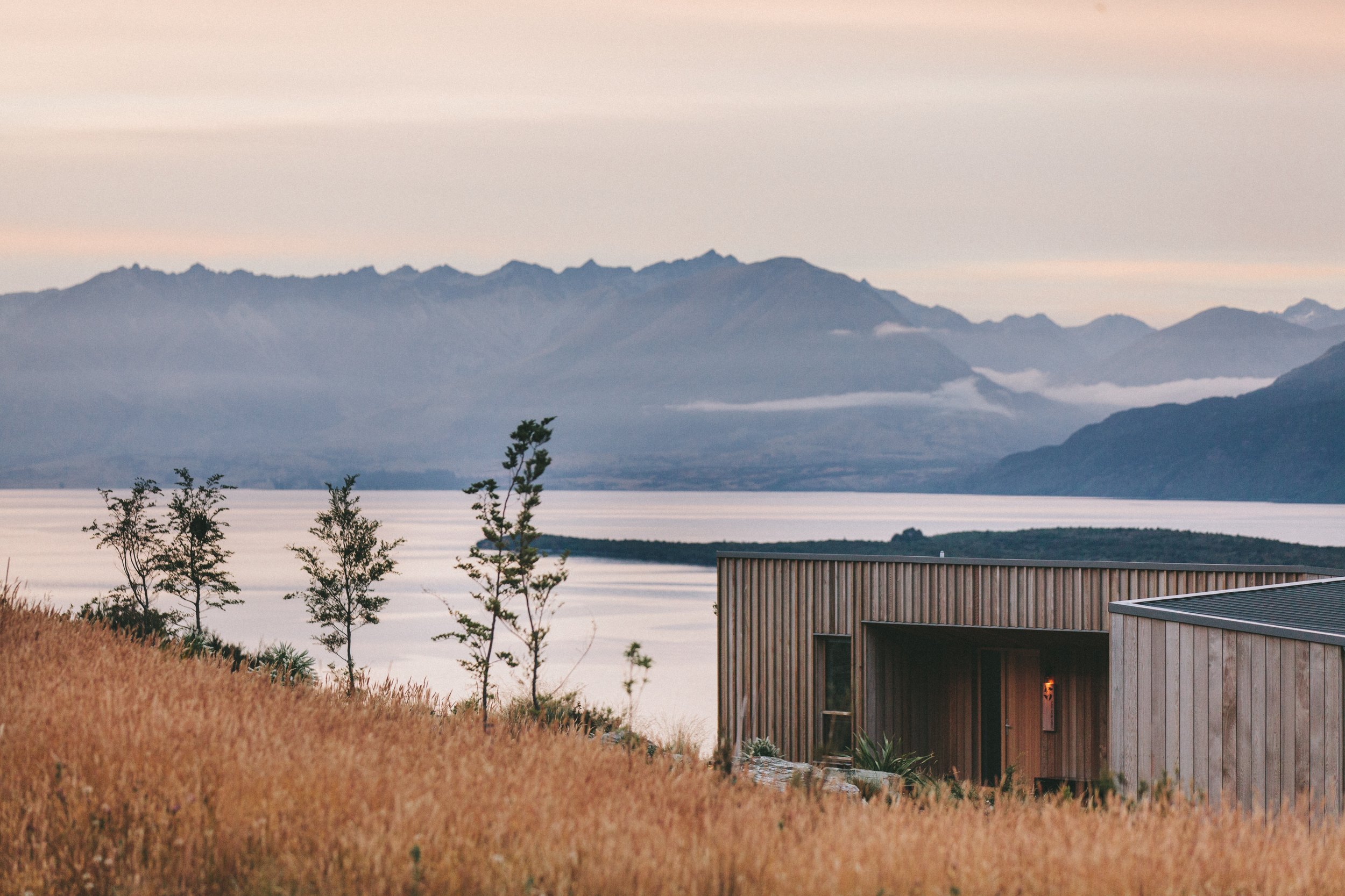
Our drone-based 3D modeling of structures and sites offers an innovative, accurate, and highly detailed way to visualize real estate assets. Whether you’re marketing a property, planning renovations, or evaluating development potential, drone-generated 3D models provide an immersive, measurable view that static photos and floor plans simply can’t match. This technology delivers precise spatial data and realistic visuals, helping stakeholders make informed decisions quickly and confidently.
Here’s what you can expect during the process:
Project Consultation: The drone operator will meet with you to understand the purpose of the 3D model—be it marketing, design, or inspection—and define the areas and features to be captured.
Safety First: The operator will survey the site for obstacles, secure necessary flight permissions, and ensure compliance with regulations such as FAA Part 107 certification in the US.
Drone Flight and Data Capture: Following a carefully planned flight path, the drone will capture a series of high-resolution images from multiple angles, ensuring complete coverage of the structure and surrounding site.
Photogrammetry Processing: The collected imagery is processed using specialized photogrammetry software to generate an accurate 3D model. This model can include true-to-scale measurements, contour lines, and detailed textures.
Review and Refinement: The draft model is reviewed for completeness and accuracy. Any necessary additional flights or image captures are performed to fill gaps or improve detail.
Final Deliverables: You’ll receive a fully interactive 3D model viewable on most devices, along with optional downloadable formats compatible with CAD, BIM, or GIS platforms. Depending on your needs, additional outputs—such as 2D orthomosaics, elevation maps, or volumetric measurements—can be provided.